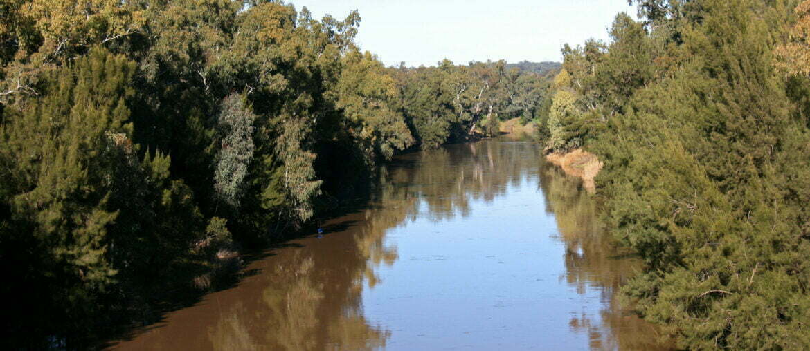
Habitat management areas are used in a variety of different ecosystems for a range of purposes. Ultimately these areas aim to preserve, conserve or rehabilitate some type of habitat or group of habitats. This pilot study examined the network of habitat management areas of the Macquarie River (NSW).
Findings:
The project comprised 3 components;
- detailed river habitat assessment and mapping;
- escalating community and other consultations; and
- trial river tender focussed on in-stream habitat improvements.
The river habitat assessment and mapping component produced a map with several layers for the 391 river-kilometre section of the Macquarie River. This project identified 290 riparian public lands areas along this river reach. The potential to manage these areas to improve native fish populations and overall river health is the next stage.
Key outputs for the community engagements component were establishment of local contacts within key NRM agencies and local governments, fishing clubs and other river user groups and engagement with local print and electronic media outlets. The conclusion was that while River Tender would be worth considering for the future it would be wise to have it complemented by a more targeted approach. This might involve focusing incentives to particular priority reaches identified by habitat mapping (see 1. above) or perhaps offered to those landholders adjoining or facing existing public lands, parks and reserves.
Key messages:
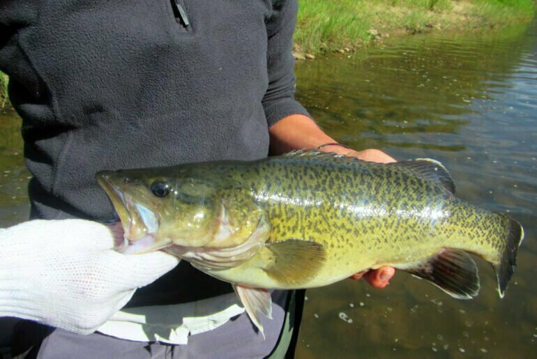
Improved coordination of river habitat management will result in increased efficacy of river habitat improvement efforts. This will have flow on effects for native fish inhabiting both the improved sections of river, and adjacent sections.
Read more here: Audit of freshwater protected areas of the Murray-Darling Basin and development of a Habitat Management Areas ‘toolkit’
Related projects:
Making fish ‘happen’ by integrating habitat, flow and connectivity


