
Protected areas are used for a variety of functions across many different ecosystems. Knowledge of the types, extent and purposes of these protected areas allows for more effective management of restoration and conservation goals.
The objectives of this project was to draw upon international and national experiences, to examine the Habitat Management Areas (HMA) concept from the perspectives of the science needed to underpin the establishment of such a network in the MDB. The second of the projects aimed to assemble a GIS system of freshwater protected areas across the MDB, to gain an understanding of what comprises this ‘estate’, and, to produce a simple and easy to use toolkit for distribution among users.
Findings:
The initial review identified many opportunities and some impediments, both potential and real, to the establishment of the proposed HMA system across the MDB. These opportunities and impediments occur at a range of levels, and within several sectors of society: political, institutional, stakeholder, community and scientific. Each opportunity and impediment needs to be well understood and addressed in the plan for going forward.
A vision for the system of ‘river parks’ in the MDB was given as:
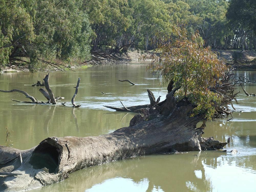
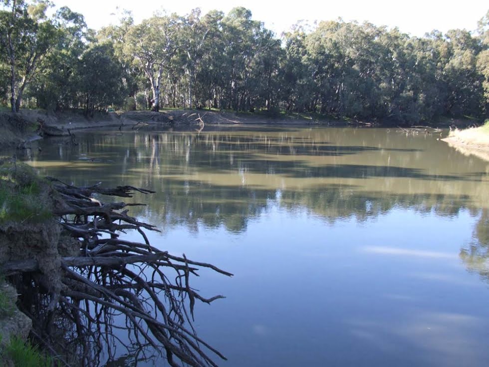
A network of riverine and floodplain sites that work collectively to maintain biological, social and cultural values and improve river health across the Murray-Darling Basin.
The review of theory and international and national experiences in the field of HMA focussed on three different levels of approach to designing a river parks systems (as set out in Figure 2 of the report, page 10); namely, a species-based, aquatic biodiversity-based or ecosystem services-based approach, and the positives and negatives.
The second part of the study compiled the first audit of the MDB’s protected areas, indicating there are close to 4,500 such areas. If State Forests are not included this reduces the number by approximately 1,700 to around 2,800 sites. A sub-set of these represents the current ‘river parks’ network of the MDB. Allowing for the omission of exclusively dryland, terrestrial parks and reserves, and taking into account some duplication across these protected area types (some areas have several ‘tags’) it seems likely that there are at least 1,000 sites that could, following further investigation, form the foundation of a Basin-wide collaborative ‘river parks’ initiative.
Most significantly, what this project has shown is that with some further investigation to clarify which of the 1,000 (or more) protected areas of the MDB may be considered ‘river parks’, there will be the opportunity to launch this umbrella initiative as way to promote collaboration and open up opportunities for more direct community participation in managing our rivers.
Key message:
The outputs of this project will help restore and conserve of key aquatic habitats in the MDB by lifting the profile of ‘river parks’. This will increase opportunities for community participation. Protection and restoration of riverine habitat and function is fundamental for protecting and rehabilitation native fish communities.
Related projects:
‘Pilot testing’ the Habitat Management Areas concept on the Macquarie River


